1747 AD: Map of The Kingdom of Juda In Africa
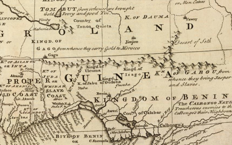
Source: Library of Congress Creator: Emanuel Bowen Date: 1747 AD Title: A new & accurate map of Negroland and the adjacent countries : also upper Guinea, showing the principle European settlements & distinguishing wch. belong to England, Denmark, Holland & c : the sea of the rivers being drawn from surveys & the best modern…