Skip to content
Black History In The Bible | #BHITB

Black History In The Bible | #BHITB

A Virtual Museum of Israelite History & Culture

  • About
  • The Omnidex
  • Community
  • Courses
  • Projects
    • Digital Time Capsule Project
  • Submit An Item
  • Donate
    • Sponsor An Exhibit
    • Donor Wall
  • Journal
  • Gift Shop
  • Toggle search form

Category: Forgotten Migrations

1737 AD: Map of The Kingdom of Juda In West Africa

Posted on October 20, 2023November 1, 2023 By Dante Fortson No Comments on 1737 AD: Map of The Kingdom of Juda In West Africa
1737 AD: Map of The Kingdom of Juda In West Africa

“Hase was a mathematics professor at Wittenberg since 1719 and started working for Homann Heirs, a map publishing firm run by the descendants of the renowned German cartographer Johann Baptiste Homann, in the 1730s. His map of Africa, based on “the latest reports and observations,” shows some regions or kingdoms, but not all of them…

Read More “1737 AD: Map of The Kingdom of Juda In West Africa” »

Share this:

  • Facebook
  • Twitter
  • LinkedIn
  • Reddit
*The Omnidex*, Forgotten Migrations

The Kingdom of Juda / Whydah Mapping Project

Posted on October 18, 2023November 1, 2023 By Dante Fortson No Comments on The Kingdom of Juda / Whydah Mapping Project
The Kingdom of Juda / Whydah Mapping Project

Map DATE LINK COUNTRY SPELLING 1707 AD Click Here France Juda 1710 AD Click Here England FidaWhiddah 1720 AD Click Here Amsterdam Juda 1727 AD Click Here England FidaWhiddah 1737 AD Click Here Germany Juda 1740 AD Click Here Netherlands Juda 1743 AD Click Here Germany Juda 1747 AD Click Here England Juda Whidah 1750…

Read More “The Kingdom of Juda / Whydah Mapping Project” »

Share this:

  • Facebook
  • Twitter
  • LinkedIn
  • Reddit
*The Omnidex*, Forgotten Migrations, The Shemites

1930 AD: Map of Black Israelite and Black Jewish Communities Across Africa

Posted on January 19, 2022November 1, 2023 By Dante Fortson No Comments on 1930 AD: Map of Black Israelite and Black Jewish Communities Across Africa
1930 AD: Map of Black Israelite and Black Jewish Communities Across Africa
  • About This Exhibit
  • More Info
  • Sponsor This Exhibit
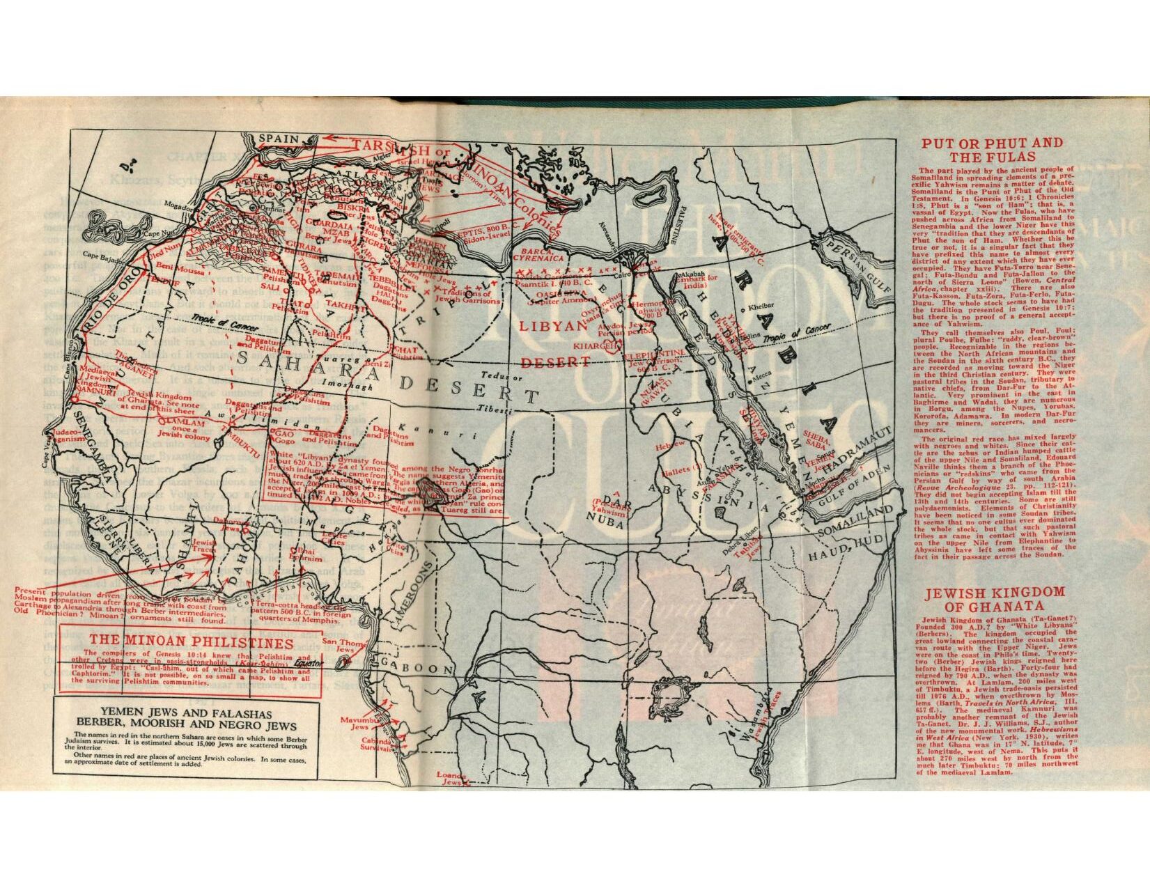
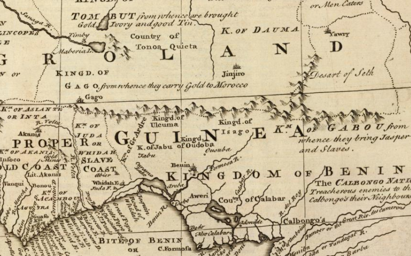
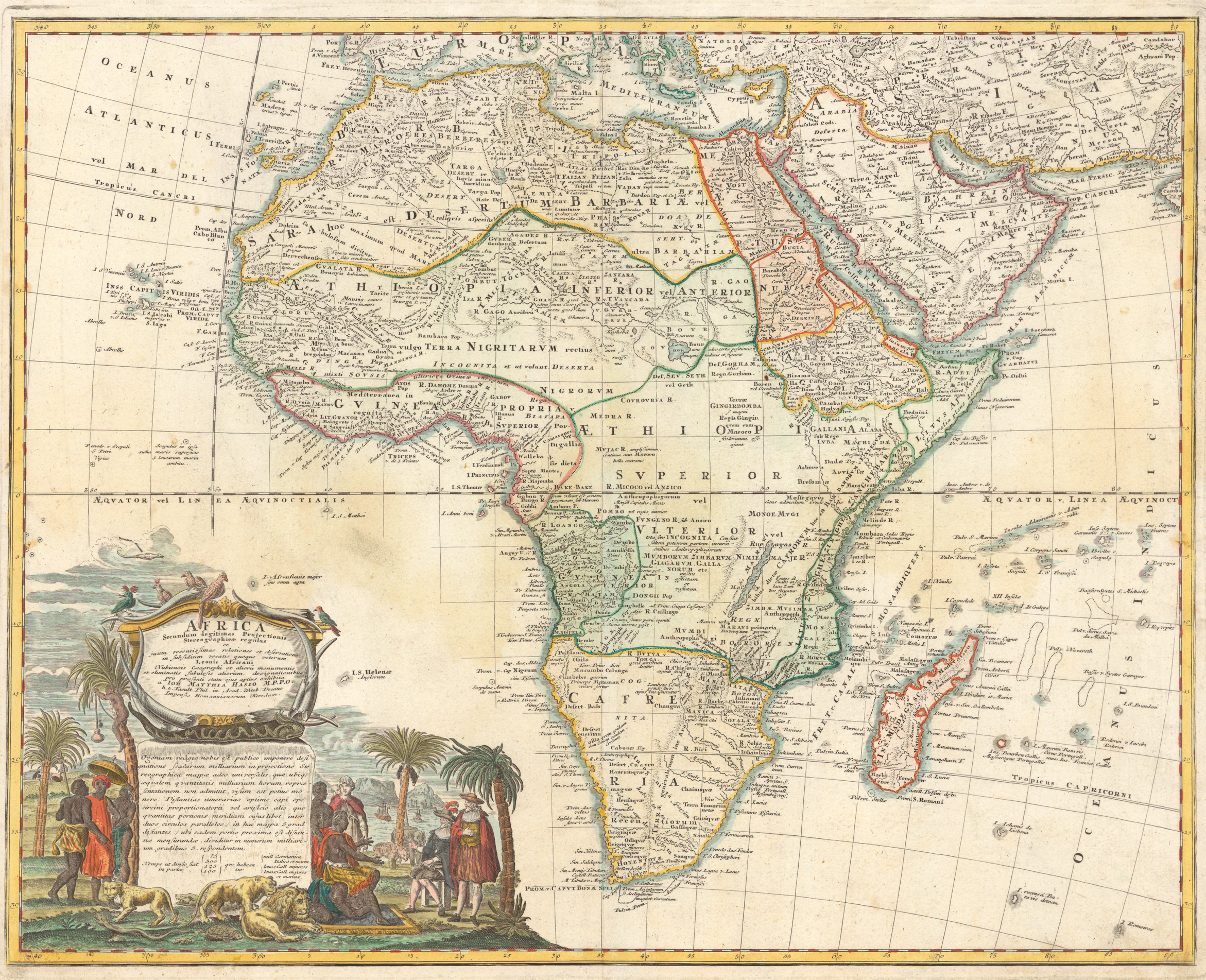
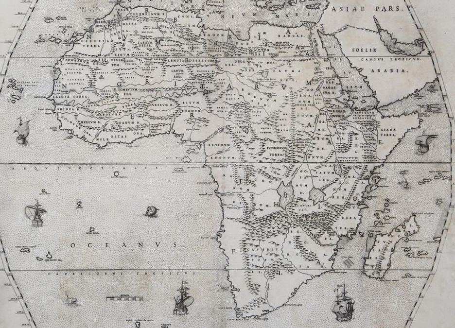
This 1930s map created by Allen H Godbey shows various communities of black Jews and black Israelite descendants scattered throughout Africa.
Link: Archive.org Title: The Lost Tribes A Myth Suggestions Towards Rewriting Hebrew History (p 266) Date: 1930 AD Creator: Allen H Godbey
BHITB and our affiliate sites are made possible by our sponsors. If you are interested in sponsoring an exhibit, please see our sponsor page for full details and benefits of becoming a sponsor. Click here to view our Sponsor Page.
1930 Allen H Godbey Map of Israelites In Africa

Share this:

  • Facebook
  • Twitter
  • LinkedIn
  • Reddit
*The Omnidex*, Forgotten Migrations

1588 AD: The Jewish State of “Judaeorum Terra” in Africa

Posted on October 28, 2021November 17, 2023 By Truth Ministries No Comments on 1588 AD: The Jewish State of “Judaeorum Terra” in Africa
1588 AD: The Jewish State of “Judaeorum Terra” in Africa

More Info “But whatever Basnage may have thought or have written at the end of the seventeenth century, the position was differently regarded a century earlier. Sanuto, the famous geographer of that period, whose African Atlas and Geography was published in 1588, shows a Jewish state distinctly marked as ‘Judaeorum Terra’, in Tabula X of…

Read More “1588 AD: The Jewish State of “Judaeorum Terra” in Africa” »

Share this:

  • Facebook
  • Twitter
  • LinkedIn
  • Reddit
*The Omnidex*, Forgotten Migrations

1774 AD: French Map Shows Negroland As “Peopled By Jews”

Posted on August 17, 2018November 5, 2023 By Dante Fortson No Comments on 1774 AD: French Map Shows Negroland As “Peopled By Jews”
1774 AD: French Map Shows Negroland As “Peopled By Jews”

More Info Africa, plate Ist., The northwest part / examined and revised by Mr. Bolton — Africa, plate II, The northeast part — Africa, plate IIId., The southwest part — Africa, plate IV, The southeast part. Appears in Postlethwayt’s Universal dictionary of trade. Sources

Share this:

  • Facebook
  • Twitter
  • LinkedIn
  • Reddit
*The Omnidex*, Forgotten Migrations

1743 AD: Homann Heirs Map of Juda On The West Coast of Africa

Posted on August 17, 2018October 21, 2023 By Dante Fortson No Comments on 1743 AD: Homann Heirs Map of Juda On The West Coast of Africa
1743 AD: Homann Heirs Map of Juda On The West Coast of Africa

Source: Wikimedia Commons Creator: Homann Heirs Year: 1743 AD More Info This is a 1743 map released by Homann Heirs that shows The Kingdom of Judah on West Coast of Africa. This map is from Germany. Homann Heirs (1730 – 1848) were a map publishing house based in Nurenburg, Germany, in the middle to late…

Read More “1743 AD: Homann Heirs Map of Juda On The West Coast of Africa” »

Share this:

  • Facebook
  • Twitter
  • LinkedIn
  • Reddit
*The Omnidex*, Forgotten Migrations

1720 AD: Map of The Kingdom of Judah In Africa

Posted on August 8, 2018October 29, 2023 By Dante Fortson No Comments on 1720 AD: Map of The Kingdom of Judah In Africa
1720 AD: Map of The Kingdom of Judah In Africa
  • About This Exhibit
  • More Info
  • Sponsor This Exhibit
This map shows The Kingdom of Judah located in West Africa in 1720.
Link: Sanderus Creator: G. De L'Isle Date: 1720 AD Title: Map of West Africa, Oriented to the North
BHITB and our affiliate sites are made possible by our sponsors. If you are interested in sponsoring an exhibit, please see our sponsor page for full details and benefits of becoming a sponsor. Click here to view our Sponsor Page.
1720 Map of The Kingdom of Judah In Africa
Composite Atlas. Amsterdam, Covens & Mortier, c. 1720.

Share this:

  • Facebook
  • Twitter
  • LinkedIn
  • Reddit
*The Omnidex*, Forgotten Migrations

1710 AD: Map of The Kingdom of Juda In Africa

Posted on August 4, 2018October 20, 2023 By Dante Fortson No Comments on 1710 AD: Map of The Kingdom of Juda In Africa
1710 AD: Map of The Kingdom of Juda In Africa

Source: Princeton University Creator: Herman Moll Date: 1710 AD Title: To the Right Honourable Charles, Earl of Peterborow and Monmouth, &c This Map of Africa . . . Is Most Humbly Dedicated. More Info The map shows the names Whiddah and Fida, which are alternate spellings for Whydah and Juda. Just above the kingdom of…

Read More “1710 AD: Map of The Kingdom of Juda In Africa” »

Share this:

  • Facebook
  • Twitter
  • LinkedIn
  • Reddit
*The Omnidex*, Forgotten Migrations, The Shemites

1747 AD: Map of The Kingdom of Juda In Africa

Posted on July 8, 2018October 20, 2023 By Dante Fortson No Comments on 1747 AD: Map of The Kingdom of Juda In Africa
1747 AD: Map of The Kingdom of Juda In Africa

Source: Library of Congress Creator: Emanuel Bowen Date: 1747 AD Title: A new & accurate map of Negroland and the adjacent countries : also upper Guinea, showing the principle European settlements & distinguishing wch. belong to England, Denmark, Holland & c : the sea of the rivers being drawn from surveys & the best modern…

Read More “1747 AD: Map of The Kingdom of Juda In Africa” »

Share this:

  • Facebook
  • Twitter
  • LinkedIn
  • Reddit
*The Omnidex*, Forgotten Migrations, The Shemites

Choose Your Language

My BookmarksShare

  • No bookmark found

Stay In The Loop

  • Academic Journal

Affiliate Sites

  • BHITB University
  • Hebrewsphere
  • JIHAAD.org

Resources

  • African Israelite Justice Foundation
  • Black Demographics
  • Slave Voyages
  • Internet Jewish History Sourcebook

Copyright © 2025 Black History In The Bible | #BHITB.

Powered by PressBook Blog WordPress theme


Loading Comments...
 

You must be logged in to post a comment.