1782 AD: The Earliest Known Reference To African Americans

Full Source List
Black History In The Bible | #BHITB
A Virtual Museum of Israelite History & Culture
Full Source List
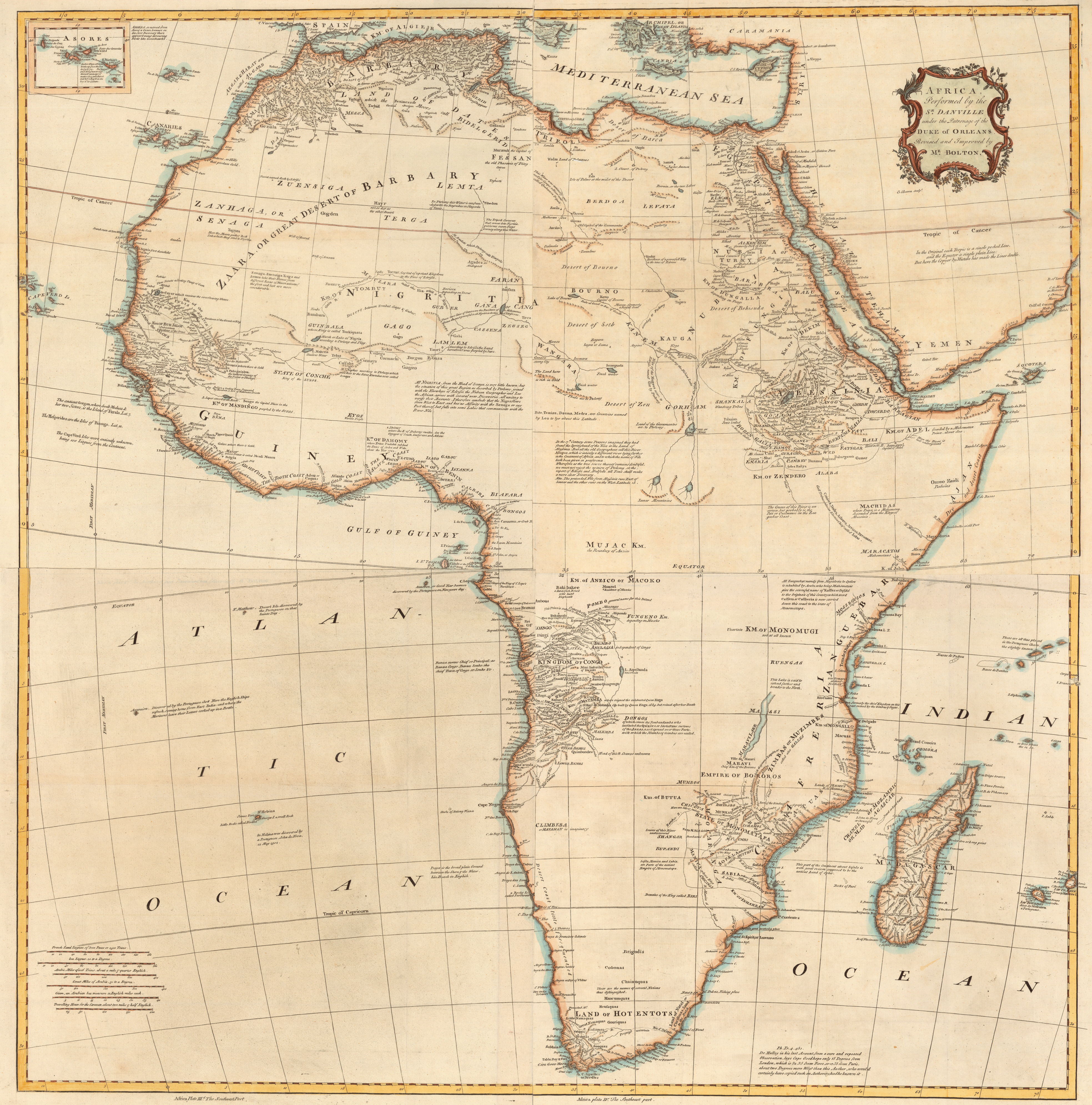
More Info Africa, plate Ist., The northwest part / examined and revised by Mr. Bolton — Africa, plate II, The northeast part — Africa, plate IIId., The southwest part — Africa, plate IV, The southeast part. Appears in Postlethwayt’s Universal dictionary of trade. Sources
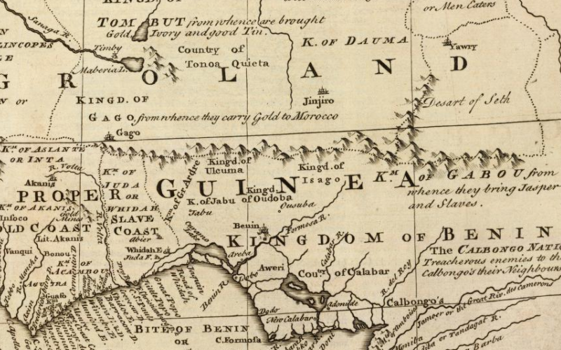
Source: Library of Congress Creator: Emanuel Bowen Date: 1747 AD Title: A new & accurate map of Negroland and the adjacent countries : also upper Guinea, showing the principle European settlements & distinguishing wch. belong to England, Denmark, Holland & c : the sea of the rivers being drawn from surveys & the best modern…