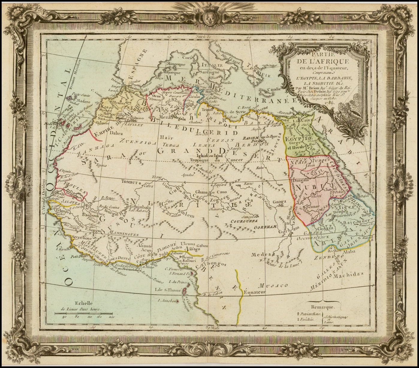
“Hase was a mathematics professor at Wittenberg since 1719 and started working for Homann Heirs, a map publishing firm run by the descendants of the renowned German cartographer Johann Baptiste Homann, in the 1730s. His map of Africa, based on “the latest reports and observations,” shows some regions or kingdoms, but not all of them are highlighted by the colorist [see the dashed lines]. The middle of Africa is labeled as unknown; instead of Blaeu’s two lakes, there is a long and thin one (Marawi) in the approximate location where Lake Nyasa or Lake Malawi will be discovered by later explorers.” – Princeton


