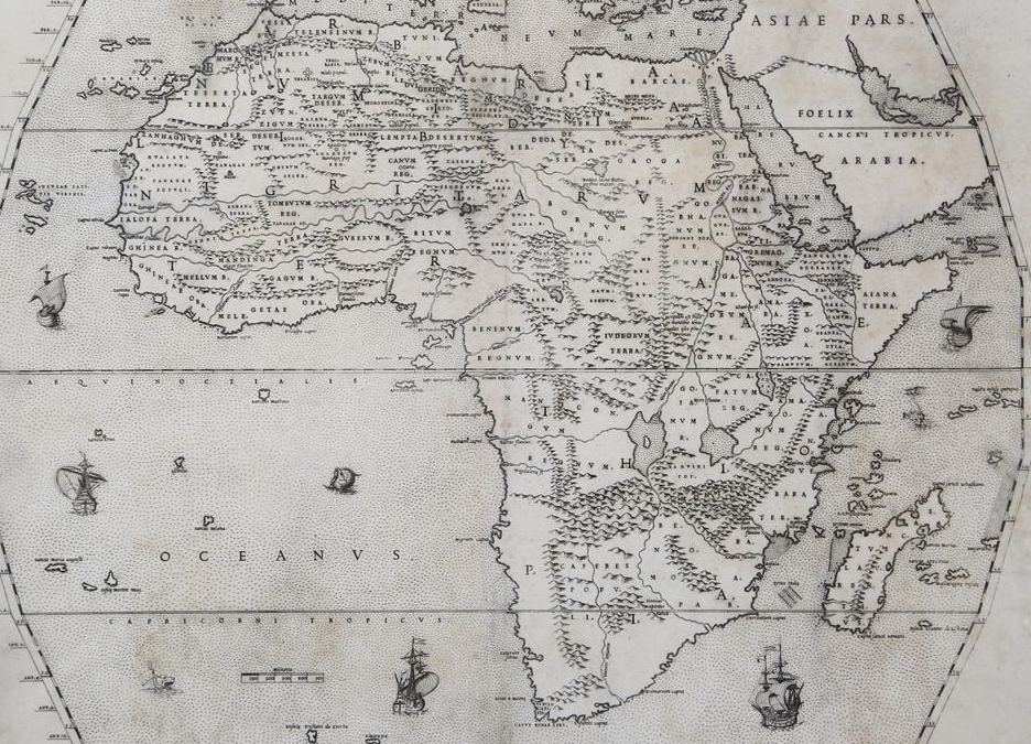
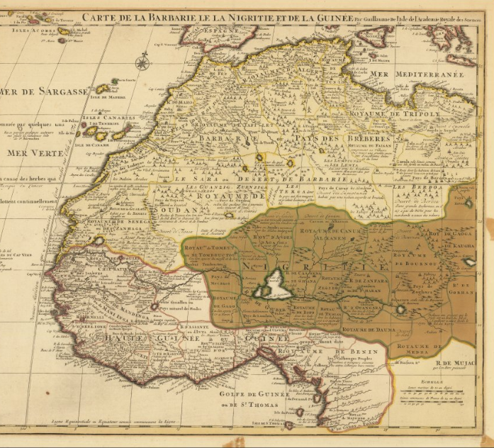
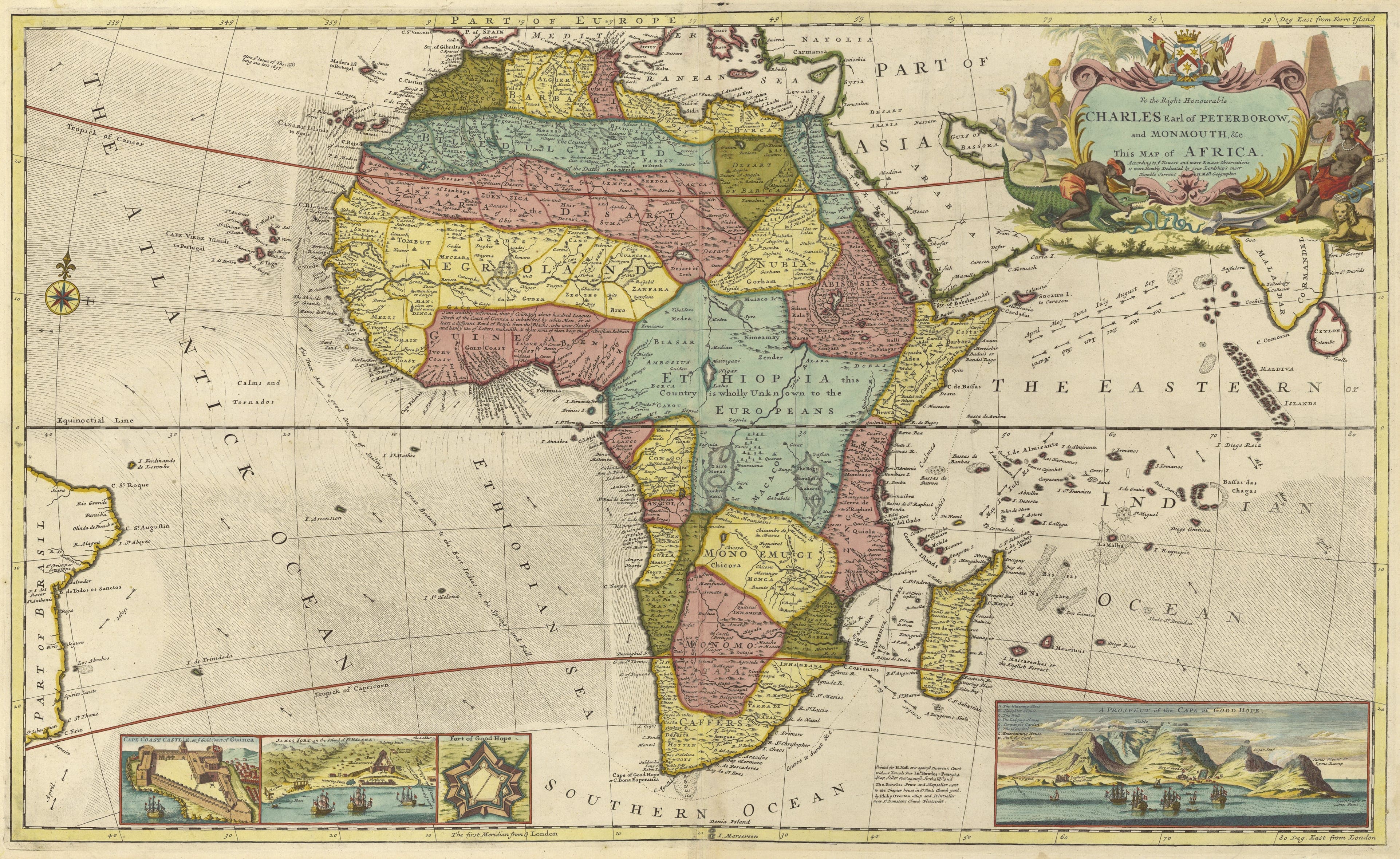
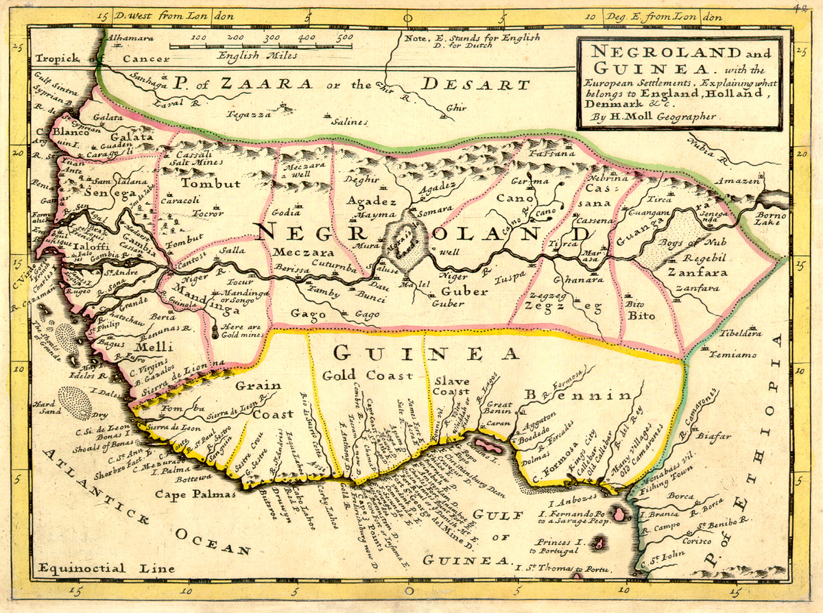
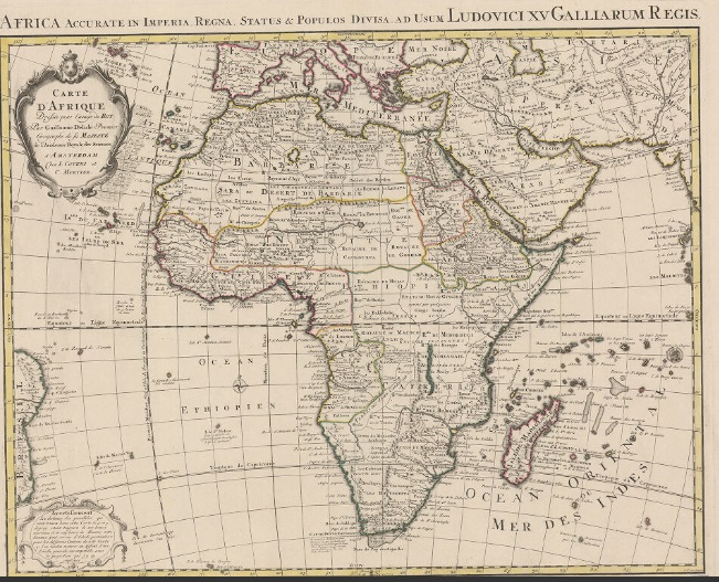
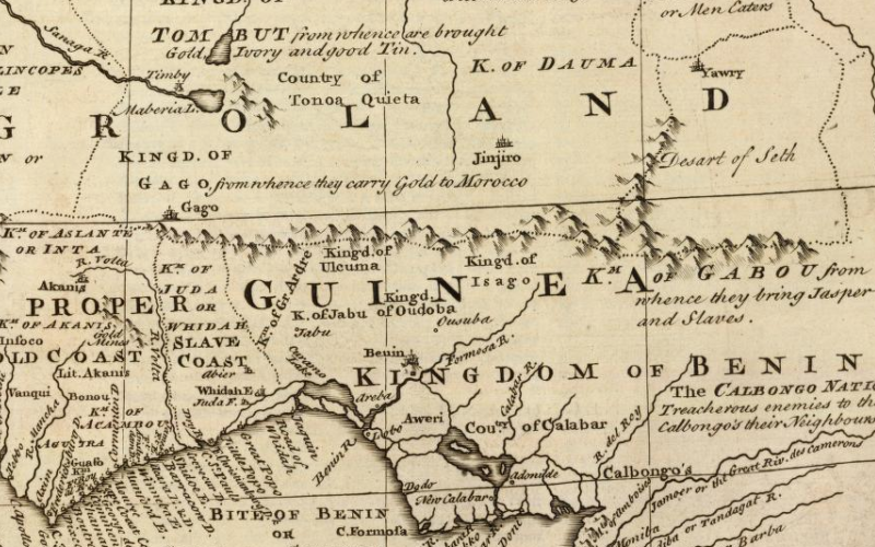
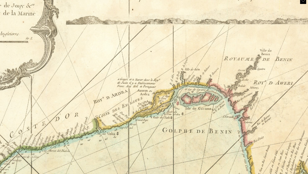
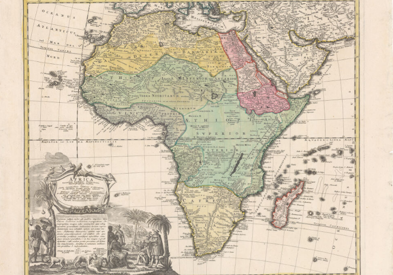
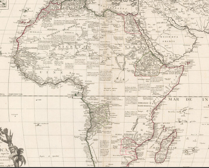
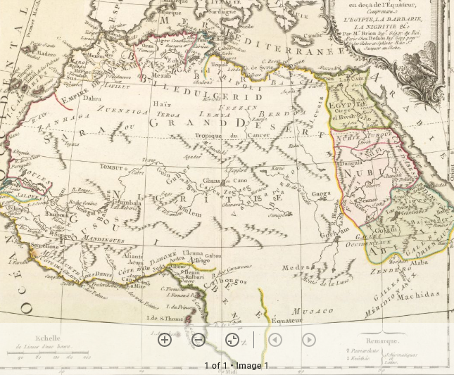
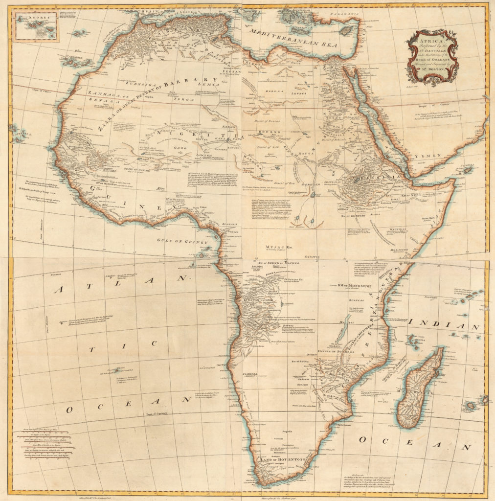
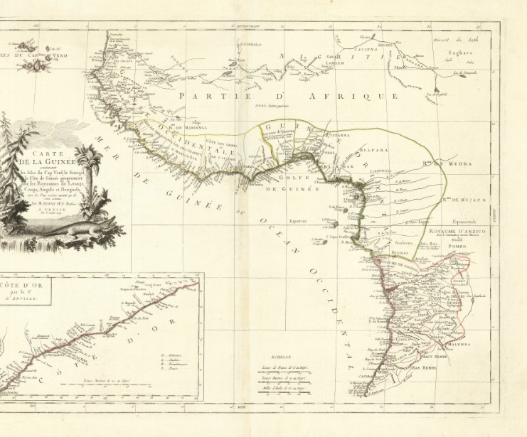
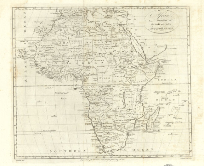
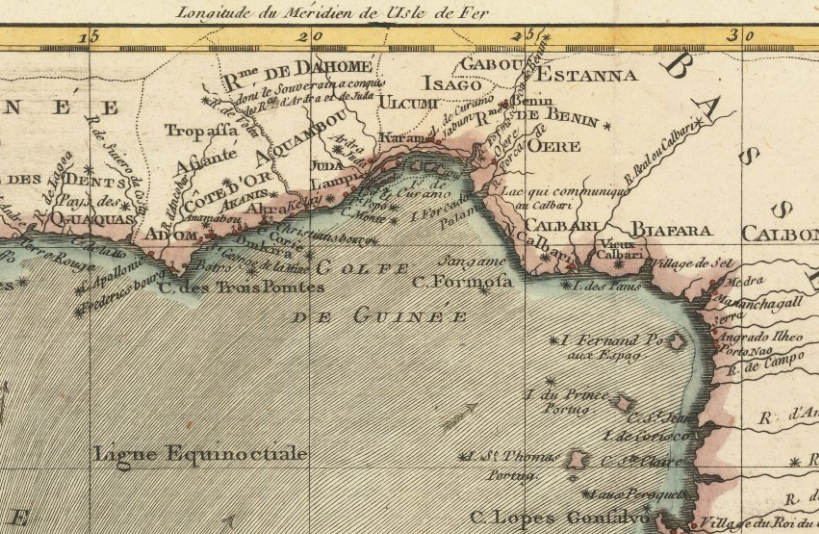
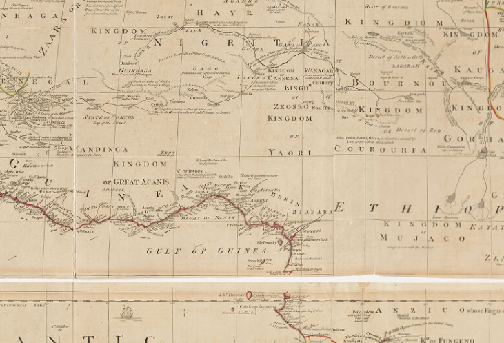
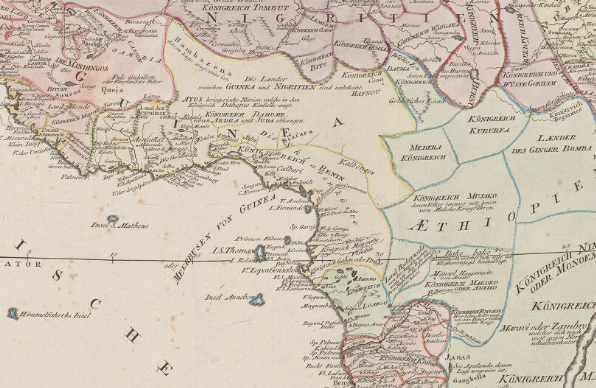
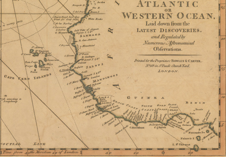
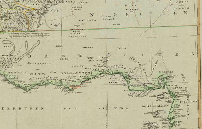
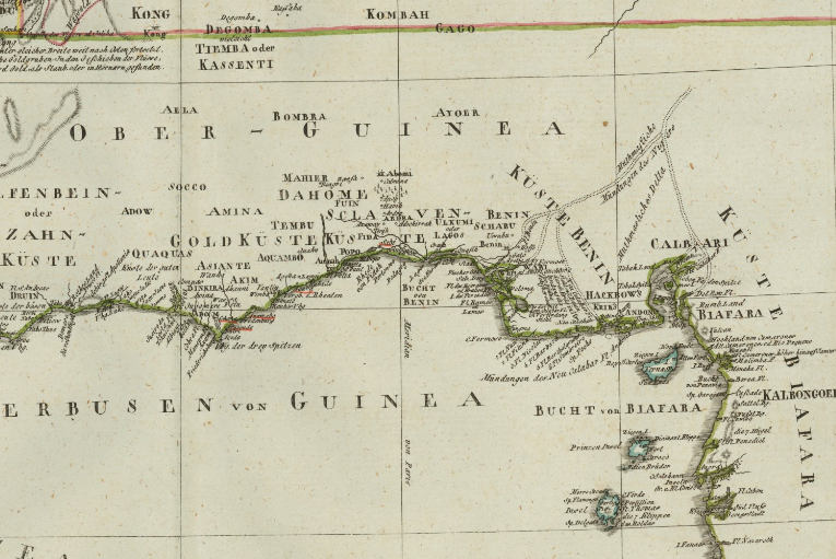
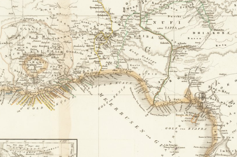
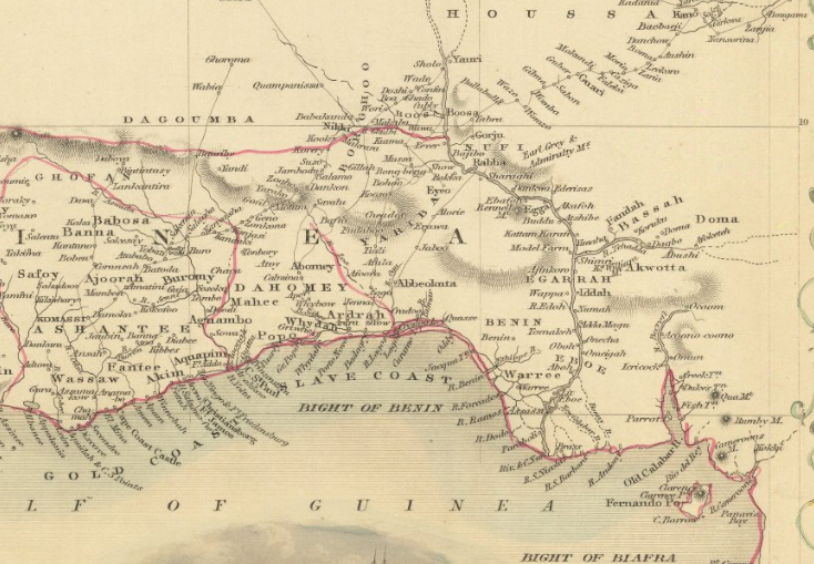
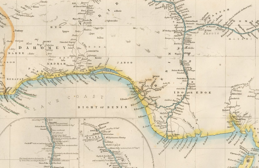
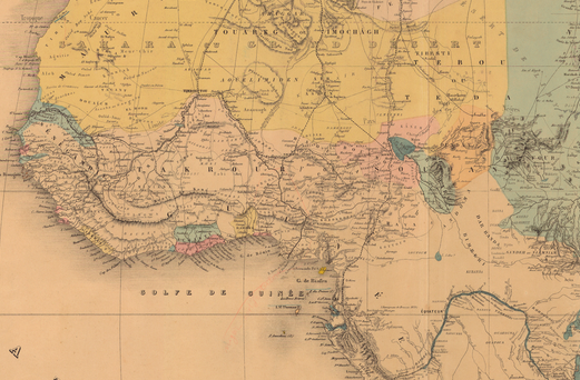
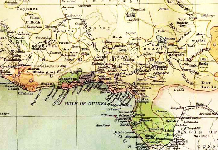
This is an ongoing project created with the goal of tracking the earliest and latest appearances of The Kingdom of Juda / Whydah on maps. The Kingdom of Juda began appearing on maps in the early 1700s and disappeared from maps by the early 1900s. Multiple explorers, linguists, and historians believed the area contained The Lost Tribes of Israel.
If you would like to submit a map for consideration, please post a link with the year, name of the map, and which country it is from, in the comment form below or via the Submit A Source page.
BHITB and our affiliate sites are made possible by our sponsors. If you are interested in sponsoring an exhibit, please see our sponsor page for full details and benefits of becoming a sponsor. Click here to view our Sponsor Page.
| Map | DATE | LINK | COUNTRY | SPELLING |
 | 1707 AD | Click Here | France | Juda |
 | 1710 AD | Click Here | England | Fida Whiddah |
 | 1720 AD | Click Here | Amsterdam | Juda |
 | 1727 AD | Click Here | England | Fida Whiddah |
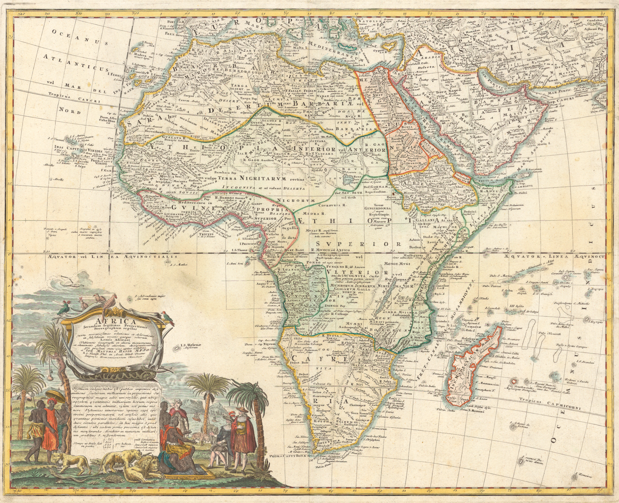 | 1737 AD | Click Here | Germany | Juda |
 | 1740 AD | Click Here | Netherlands | Juda |
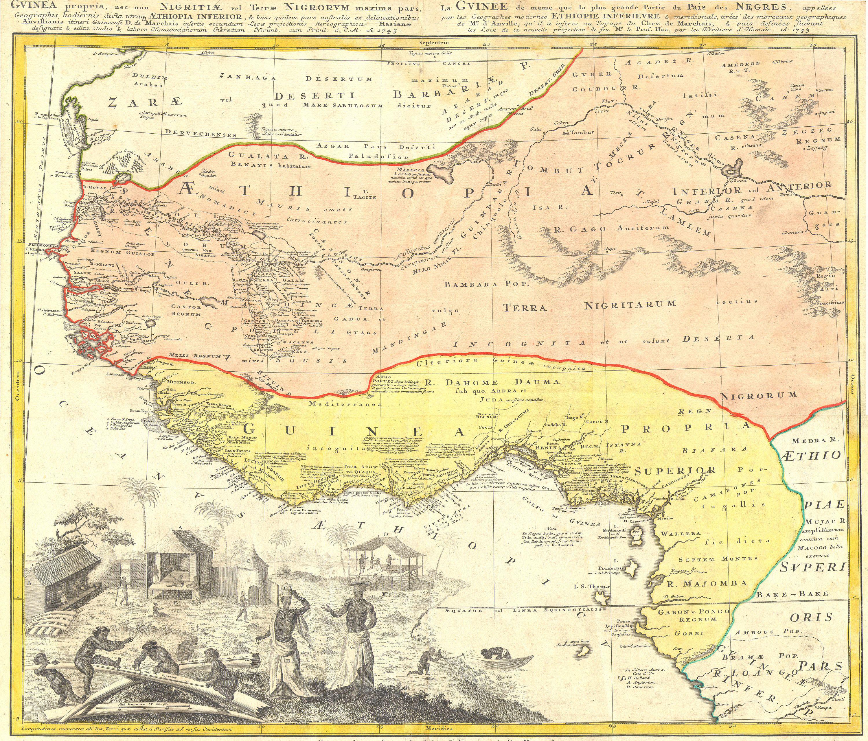 | 1743 AD | Click Here | Germany | Juda |
 | 1747 AD | Click Here | England | Juda Whidah |
 | 1750 AD | Click Here | France | Juda Juida |
 | 1750 AD | Click Here | Germany | Iuda? Juda |
 | 1754 AD | Click Here | France | Fida |
 | 1771 AD | Click Here | Spain | Juda |
 | 1772 AD | Click Here | Spain | Juda |
 | 1774 AD | Click Here | England | Wida |
 | 1779 AD | Click Here | France | Juda |
 | 1780 AD | Click Here | France | Juida |
 | 1780 AD | Click Here | Italy | Juda |
 | 1787 AD | Click Here | England | Widah |
 | 1787 AD | Click Here | France | Juda |
 | 1794 AD | Click Here | England | Wida |
 | 1795 AD | Click Here | Austria | Juda |
 | 1795 AD | Click Here | England | Juda Whidah |
 | 1797 AD | Click Here | Germany | Whydah |
 | 1804 AD | Click Here | Germany | Fida |
 | 1806 AD | Click Here | Germany | Fida |
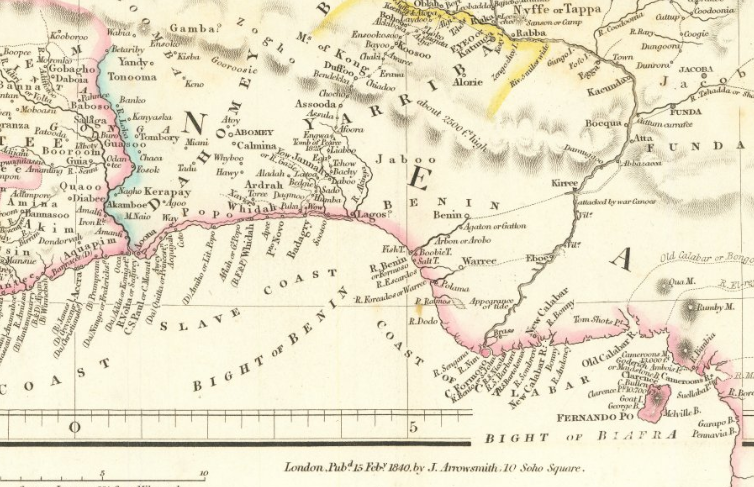 | 1840 AD | Click Here | England | Whidah |
 | 1849 AD | Click Here | German | Waida? |
 | 1851 AD | Click Here | England | Whydah |
 | 1855 AD | Click Here | England | Whydah |
 | 1880 AD | Click Here | France | Whydah |
 | 1885 AD | Click Here | Scotland | Whydah |
Notes: The Kingdom of Juda / Whydah is marked as “The Slave Coast” on some maps.